


Cross check surf report
Corey Senese // 2016-02-03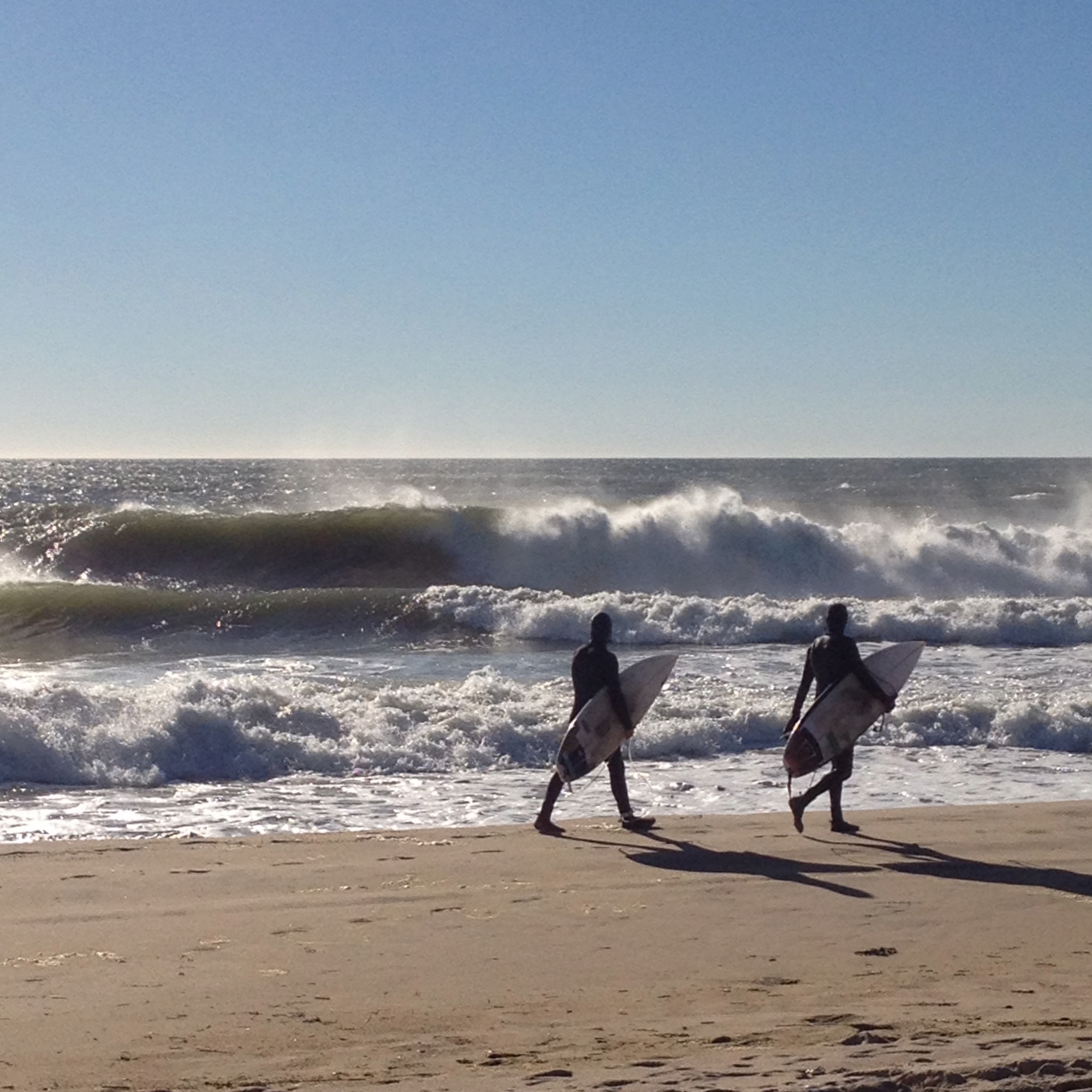
CoreysWave
4 Best Resources for Surf Checks and Surf Forecasts
Crosscheck Surf Report (for everyone J)
You must start by learning about what kind of surf conditions are personally right for you. Click here for an extensive surf glossary if you don’t know what surf conditions are?
Swell:
Montauk mostly gets local wind swell from the South and Southwest making small short period swell. When the wind swell gets bigger the waves can be really good with optimal conditions. A few dozen times a year Montauk receives better quality, longer period ground swell from hurricanes and winter storms.
A beginner should start with small waves and a big board. With the right big board a person can ride a small wave easily and without as many consequences. A beginner should be looking for small waves shin to waist high.
Power:
You can tell a lot from wave height but the wave interval of the swell is the key factor when determining the actual size and power of the waves you will encounter that day. For example, a 3 foot swell at 12 seconds is much more powerful than a 3 foot swell at 7 seconds. Long intervals between waves usually means greater overall power, but shorter intervals can create more waves. These shorter intervals produce rip currents and can be more dangerous. Always be cautious.
A beginner wants small wave height with a long wave interval. This will give a surfer more time to see the waves and react accordingly. A swell of 1ft at 14 seconds with the right conditions can be perfect for learning. A swell of 3ft at 14 seconds can actually be well overhead and too much power for some beginners.
Wind:
Montauk favors a North or NW offshore wind. Surf conditions improve with light offshore winds however a strong offshore will actually blow the overall swell height down the longer it blows. Any direction wind below 5 mph is usually not a problem even if the wind in onshore. Strong wind will have a huge effect on wave size and rip currents. Be very cautious surfing in wind above 15mph.
For beginner and ripper alike, the best wind direction is almost always light offshore switching to no wind at all.
So lets take a look at the current conditions!
1. Surfline - Montauk Cam
http://www.surfline.com/surf-report/montauk-northeast_4268
Take note of the size and conditions. Use the cam to look at the overall ocean surface conditions. This camera is located at Gurney’s in Montauk, so the overall conditions in Montauk will be close to the same. Make sure you give the camera time to show you the view to the East and to the West.
2. Swellinfo - Montauk, NY. Surf Forecast
http://www.swellinfo.com/surf-forecast/montauk-new-york
Take note of the current size and conditions. The forecast given by swellinfo.com is generally reliable, but the report tends to be adjusted constantly due to the changing weather conditions. Obviously the forecast will be more accurate looking one day out opposed to three days out. Locate and click the tab labeled “Station Data” above the map. Select the buoy station closest to Montauk (Station 44017, see below).
3. National Data Buoy Center
http://www.ndbc.noaa.gov/station_page.php?station=44017
Take note of the current wave height (WVHT), dominate wave period (DPD), and mean wave direction (MWD). Use these readings with the actual beach reports to get an idea of size and power. Looking at the previous hourly readings below on the page, you can see if the swell is increasing or decreasing by following the trends.
4. Weather.com - Montauk, NY. Hour-by-Hour
http://www.weather.com/outlook/events/sports/hourbyhour/11954
Take note of the current wind direction and speed. The hourly forecast tells you exactly what to expect the wind to do throughout the day. The forecast can be fairly accurate for day of forecasting. The hourly forecast becomes less accurate 2 and 3 days out but you still should use it as a resource.
P.S.